New pool construction in Vanderbilt Beach: the order of approvals on a Gulf-front lot
Gulf Shore Drive runs the beach strip from Bluebill Avenue to Vanderbilt Beach Road, with condos, villas and waterfront homes along it. Florida's coastal construction control line cuts through this strip, and which side of it your yard sits on settles what gets done first. The state's control line program covers anything that could wear away a beach, undermine dunes or shut off public access. Under F.S. 161.053, a coastal county handed an application seaward of the line has 5 days to advise the state, and the applicant hears that a state permit is required.
A single-family home can sometimes use a state general permit instead, provided the pool stays behind the construction already in place and meets the state's siting and design rules. Your notice has to be filed 30 days or more before work begins. Condos and other multifamily buildings can't use it. If the line never touches your yard, there's no state step and the county is your only desk.
Finding out which of those roads you're on comes first. We do it before any drawing. For the county side, the permits guide lists what Collier asks for on every pool. The Vanderbilt Beach town page digs into the line itself.
Tear-down lots on Bayview Avenue and Channel Drive: one survey for the house and the shell
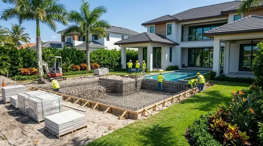
On Bayview Avenue, Channel Drive and Seagull Avenue in the Conners part of the community, houses built between 2011 and 2025 stand next to homes from 1967. When an older house comes down, the new house and the gunite shell can use one survey and one set of elevation answers. You pay a surveyor once. Past 400 sq ft of new impervious area, Collier wants a certified site plan, signed and sealed, six months old at most. A shell plus its deck gets there quickly.
Two questions belong in that first meeting. Collier's portal asks whether the declared value of the work tops 25% of the structure's improved value. Its floodplain section also wants FEMA 50% rule forms for a project that reconstructs or adds to a structure. Collier Floodplain Management can tell you whether your scope triggers them. The same office answers flood zone and elevation questions for an address. Its answer tells us where to set the equipment pad and deck relative to the floor of the house.
Two kinds of ground under one ZIP: what the dig can meet
FEMA's map doesn't read the same everywhere along this coast. A sample at the Gulf-side point returned Zone AE with a base flood elevation of 9.0 feet. Another, about two miles east of the beach, came back Zone X. Neither one is your parcel. Look up your address in FEMA's national flood hazard layer and get the number in writing. Your number sets our deck and equipment heights. A neighbor's doesn't.
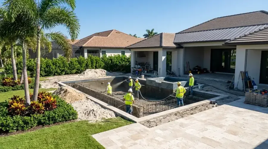
The soil map splits too. At the Gulf-side point you get a St. Augustine unit with an organic substratum, mixed with Urban land. At the inland point it shows Ft. Drum and Malabar fine sands. The map lists both as drained poorly or somewhat poorly. Florida's residential code, in section R4501.21.4, wants an approved hydrostatic relief device in areas where a high water table is expected, and our shell drawings include one when the ground points that way. Tell us what your yard does after a storm. The excavator has the final say on water, so we raise it at the estimate and not on dig day.
Dates that can slip: turtle conditions, storm season and the rainy months
Three things can move a start date. Ask early and none of them is a surprise. The state is the first. To protect nesting sea turtles and hatchlings, F.S. 161.053 lets the department dictate the nature, timing and sequence of permitted construction. A permit on the sand side of the line can carry conditions on when and how the crew works. Read those before you choose a dig date.
Storm season is the second. Atlantic hurricane season, per the National Hurricane Center, runs June 1 to November 30 and peaks around September 10. A shell left open in September needs a plan for the hole. The rainy season is the third, May through October, when thundershowers are frequent and the sand holds water.
We build your schedule backward from the day you want to swim, and we point out where the slack is. If the state notice is the longest wait, we start that paperwork while the drawings are still in progress. Ask for the schedule in writing at the estimate, with every permit step named and the weeks next to it.
What to send before we price new pool construction in Vanderbilt Beach
A gunite pool built to order costs $65,000 to $150,000+ in our region. With a 15x30 to 20x40 size and a standard deck, figure $75,000 to $120,000. Luxury builds span $150,000 to $350,000+. Your free written estimate comes after we see the yard, and it lists the shell, deck and cage on separate lines.
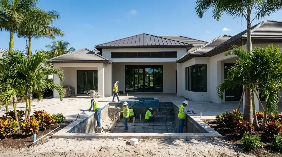
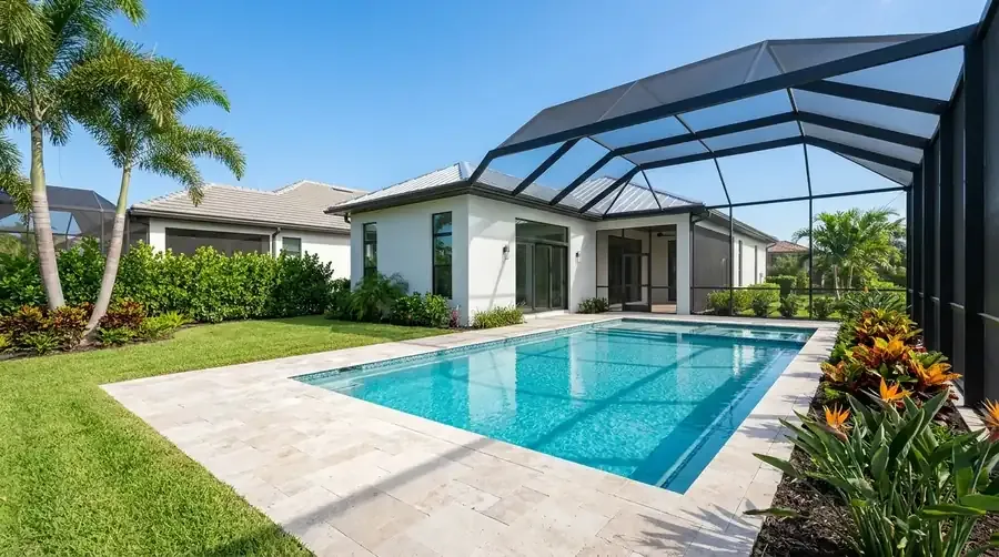
Before we price new pool construction in Vanderbilt Beach, we need four items from you. First, a survey if you have one. Second, the flood zone and elevation Collier gives you. Third, whether the state's beach line touches your lot. Fourth, any association rules if you own a villa or condo. Planning a cage over the shell? It gets its own permit, and our Vanderbilt Beach screen enclosures page explains it. For what pushes each line up or down, see the pool cost guide, and the new pool construction page follows the build step by step through first fill. Call (239) 899-6371 when you're ready.
Sources
- Pool (PRSPL) application requirements, Collier County Growth Management
- Coastal Construction Control Line Program, Florida Department of Environmental Protection
- F.S. 161.053 Coastal construction and excavation, Florida Legislature
- Improvement or Damage Analysis (FEMA 50% rule), Collier County Floodplain Management
- National Flood Hazard Layer, FEMA
- F.S. 713.13 Notice of commencement, Florida Legislature
- Tropical Cyclone Climatology, NOAA National Hurricane Center
- Vanderbilt Beach, Florida, Wikipedia