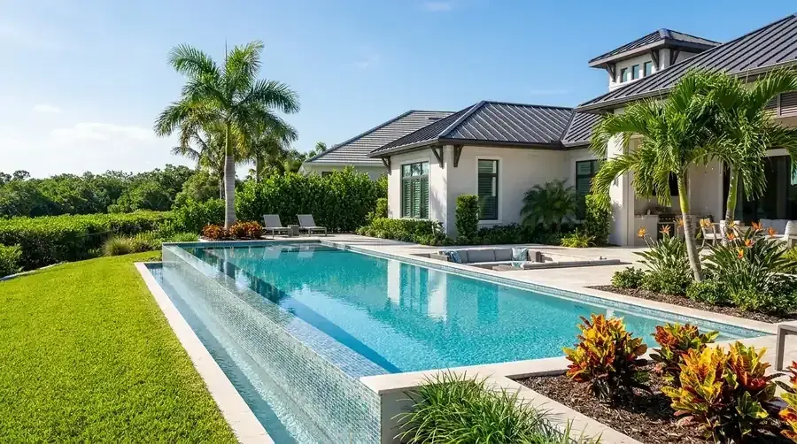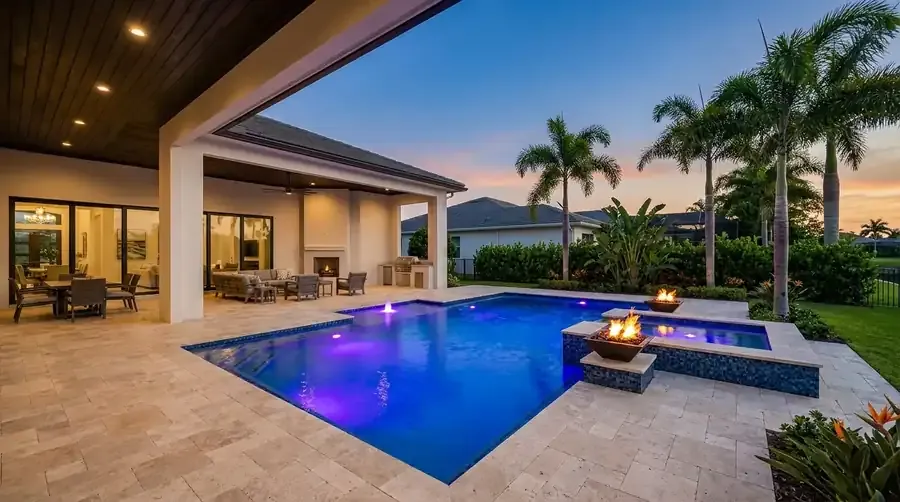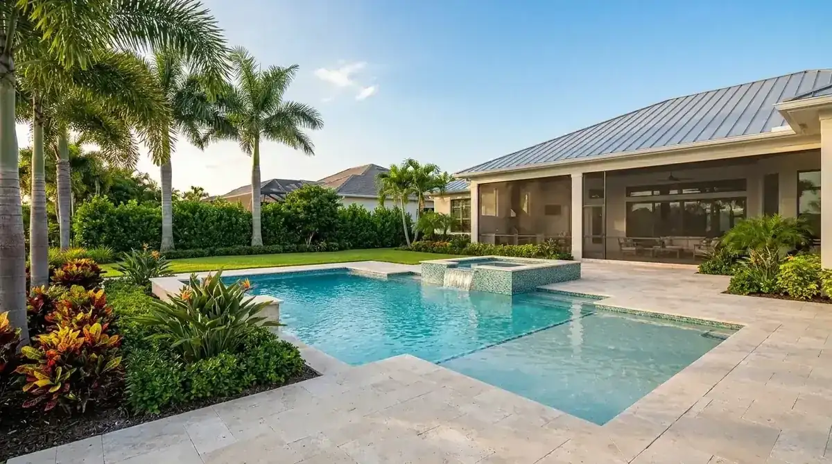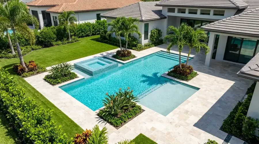
Pool design in Vanderbilt Beach starts at the control line
Vanderbilt Beach is an unincorporated Collier County community on the Gulf, about 9 miles north of the center of Naples, and it shares ZIP 34108 with Naples Park and North Naples. We ask where the Coastal Construction Control Line runs on your lot before anyone sketches a shape, since custom pool design on the Gulf side hangs on that answer. The Florida DEP control line program regulates structures and activities that can erode the beach, destabilize dunes or block public access. It also protects sea turtles and dune plants.
The statute is blunt. After a line is filed for a county, nobody may build a structure seaward of it, excavate, or remove beach material without a permit. Collier and Lee each have their own general permit lines in the Florida Administrative Code, and Collier's is Rule 62B-34.160. DEP's mapping tool tells you whether your lot is seaward of the line. We won't guess from the street.
The general permit, and what it won't stretch to
F.S. 161.053 lets DEP issue general permits for decks, fences, pool resurfacing and minor pool repairs. A swimming pool tied to a single-family home can qualify too, provided the work doesn't advance the line of existing construction and meets the siting and design rules. The department needs notice at least 30 days before work begins.
That line of existing construction is what limits the design. On that route nothing advances seaward of that line, so the shell, deck and spa stay landward of it, and the result looks nothing like a drawing for a lot a few blocks inland. Multifamily habitable structures don't qualify for the general permit at all. When a coastal county gets an application seaward of the line, it must tell DEP within five days and tell you a state permit is required.
One community, two flood maps, two soils
The beach strip and the inland side of the community read differently. One Gulf-side FEMA point reads Zone AE with a base flood elevation of 9.0 feet. Another point, about two miles inland at the community's mapped center, reads Zone X, the 0.2 percent annual chance zone, outside the special flood hazard area. Look your address up on FEMA's flood hazard layer, and get the elevation certificate in hand before the layout is final.
The soil map splits the same way. The Gulf-side point shows St. Augustine soil over an organic substratum, mixed with Urban land, which is somewhat poorly drained. The inland point shows Ft. Drum-Malabar fine sands, poorly drained. Two soils under one name means no shortcut for your lot. The residential code calls for a hydrostatic relief device where a water table is anticipated, and the engineer who seals the shell sheets sets the depth for your ground.
Conners, Bayview Avenue and a rebuild cycle
Along the beach strip, Gulf Shore Drive runs from Bluebill Avenue to Vanderbilt Beach Road, lined with high-rise condos, villas and waterfront houses. A realty listing for the Conners neighborhood shows waterfront houses on channel and bay streets such as Bayview Avenue, Channel Drive and Seagull Avenue, where homes built from 2011 to 2025 stand beside 1967 houses. You can read a rebuild cycle in that mix.
If that's your plan, design the yard and the house together. FEMA's 50 percent rule counts any improvement that costs half or more of a structure's market value, and Collier's floodplain office wants forms when the scope improves a structure. Ask Collier's floodplain office how it counts your scope, pool included, before the drawing, not after. A lot that touches a channel also gets the water's edge on the site plan.
The county's sheets and the safety layer
Pool design in Vanderbilt Beach still ends at Collier County's desk, because the county issues the building permit. The county's in-ground pool page wants engineered structural detail, a dimensioned plan, pump calculations, lighting and deck choices, and a Safety Act form that names the barrier method. New hard surface over 400 square feet needs a certified site plan, and on a one- or two-family lot the county may add a Storm Water Plan. Our permit guide has the county list in full.
State law needs a new pool to carry at least one safety feature. On a beach lot the barrier you pick shapes the view, so we sketch glass, aluminum and screen against the same 48 inch height and let you compare the views. DEP can also set conditions on the nature, timing and sequence of work to protect nesting sea turtles, and that is worth knowing before you pick a build date. If a cage will cover the pool, ask DEP whether it needs its own review.
Walk the beach side with us: pool design in Vanderbilt Beach
Bring your survey, any condo or association paperwork, and DEP's line map printed for your address if you have it. We walk the yard, note what we can't confirm from the street, and write a free estimate that arrives before any work begins. Pool design in Vanderbilt Beach is quoted with the build, so no flat figure appears here. After that we draw a 3D pool design of the shell, deck and barrier on your survey, and you see the line of existing construction in your own yard before anything is filed.
Call (239) 899-6371 or use the contact page. Also: Vanderbilt Beach, the pool design overview, new pool construction here, resurfacing and pool design in Pelican Bay just south.
Sources
- Coastal Construction Control Line Program, Florida DEP
- F.S. 161.053 Coastal construction and excavation, Florida Legislature
- Fla. Admin. Code R. 62B-34.160, Florida DEP via Cornell LII
- Pool (PRSPL), Collier County Growth Management
- Vanderbilt Beach, Florida, Wikipedia
- Vanderbilt Beach real estate, Naples Condo Boutique
- National Flood Hazard Layer, FEMA
- 44 CFR 59.1 Definitions, Cornell LII